Distance: 1,130m
Ascent: 0m
Descent: 140m
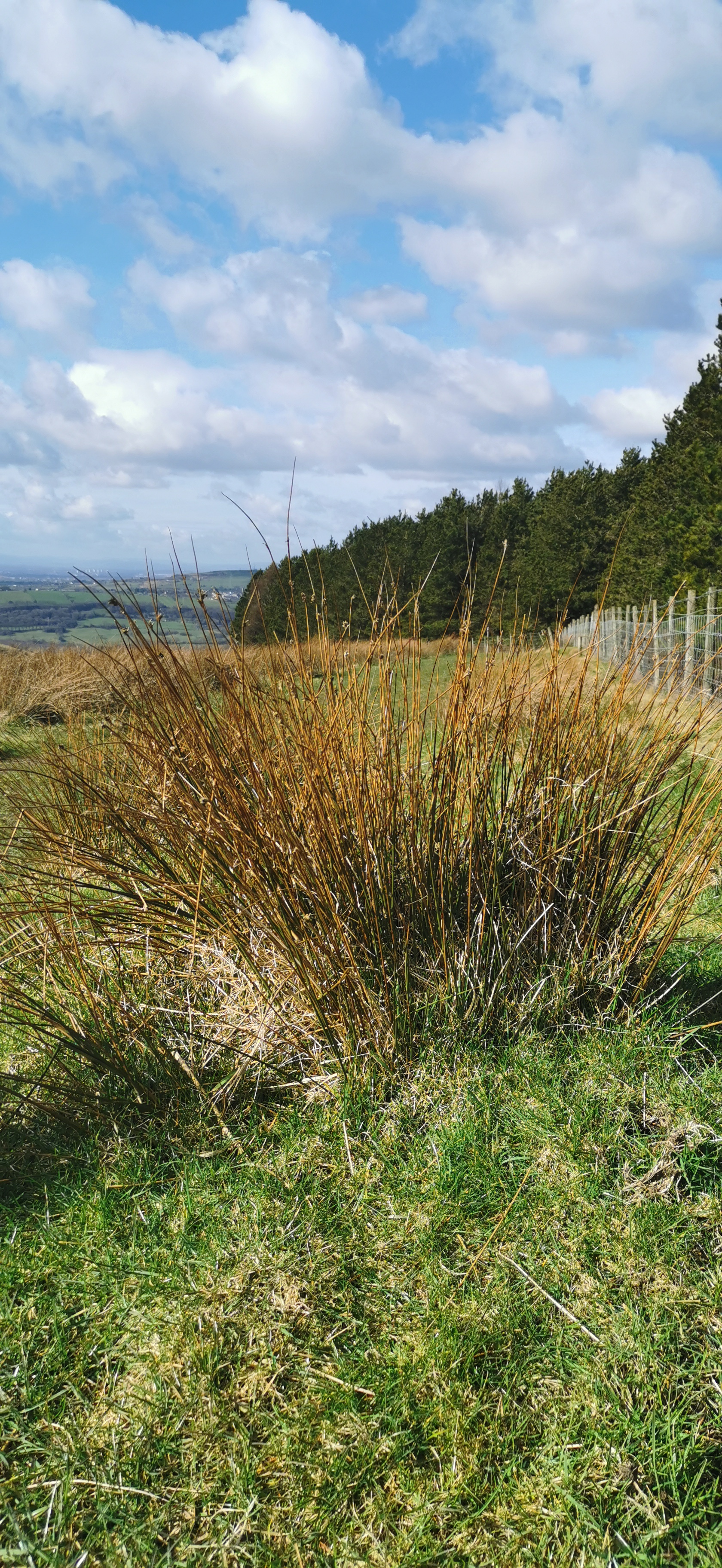
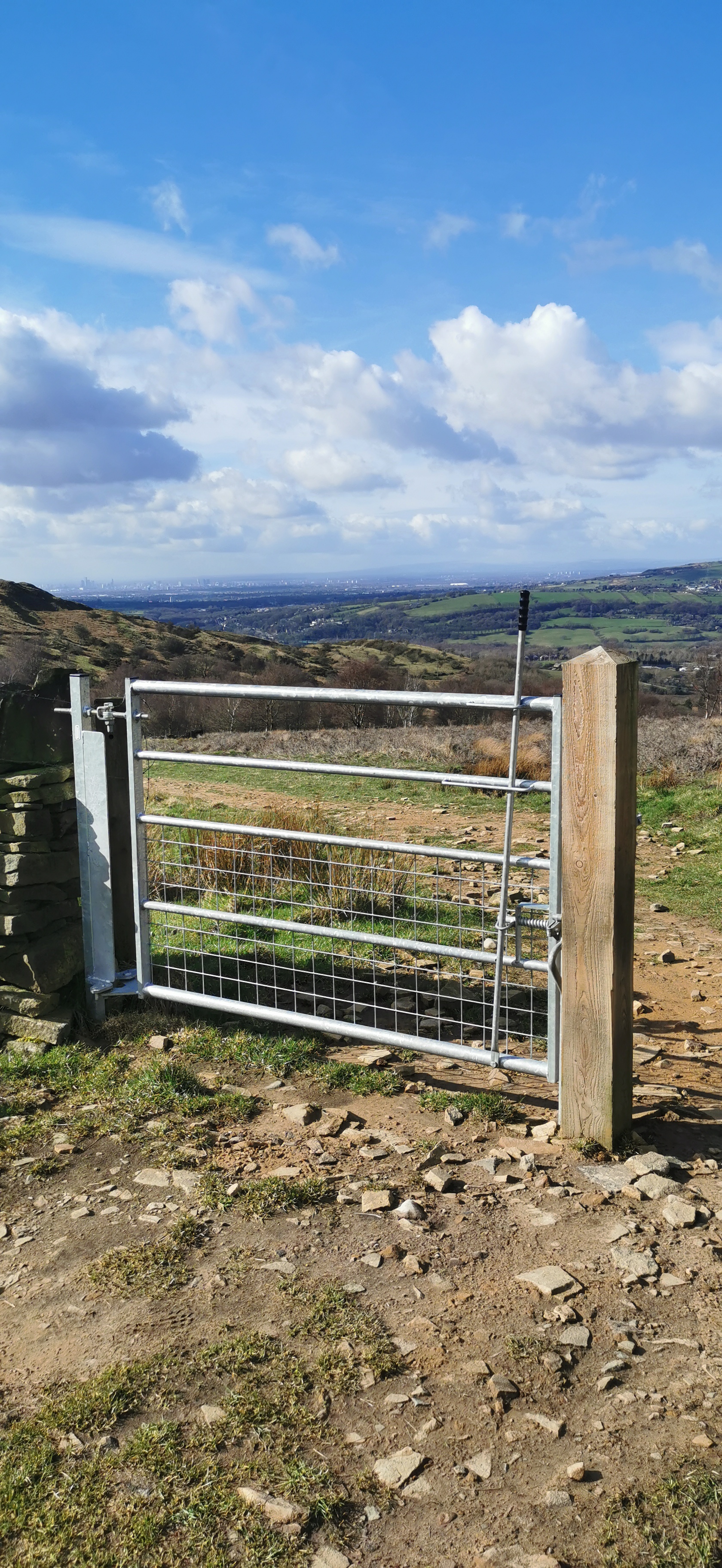
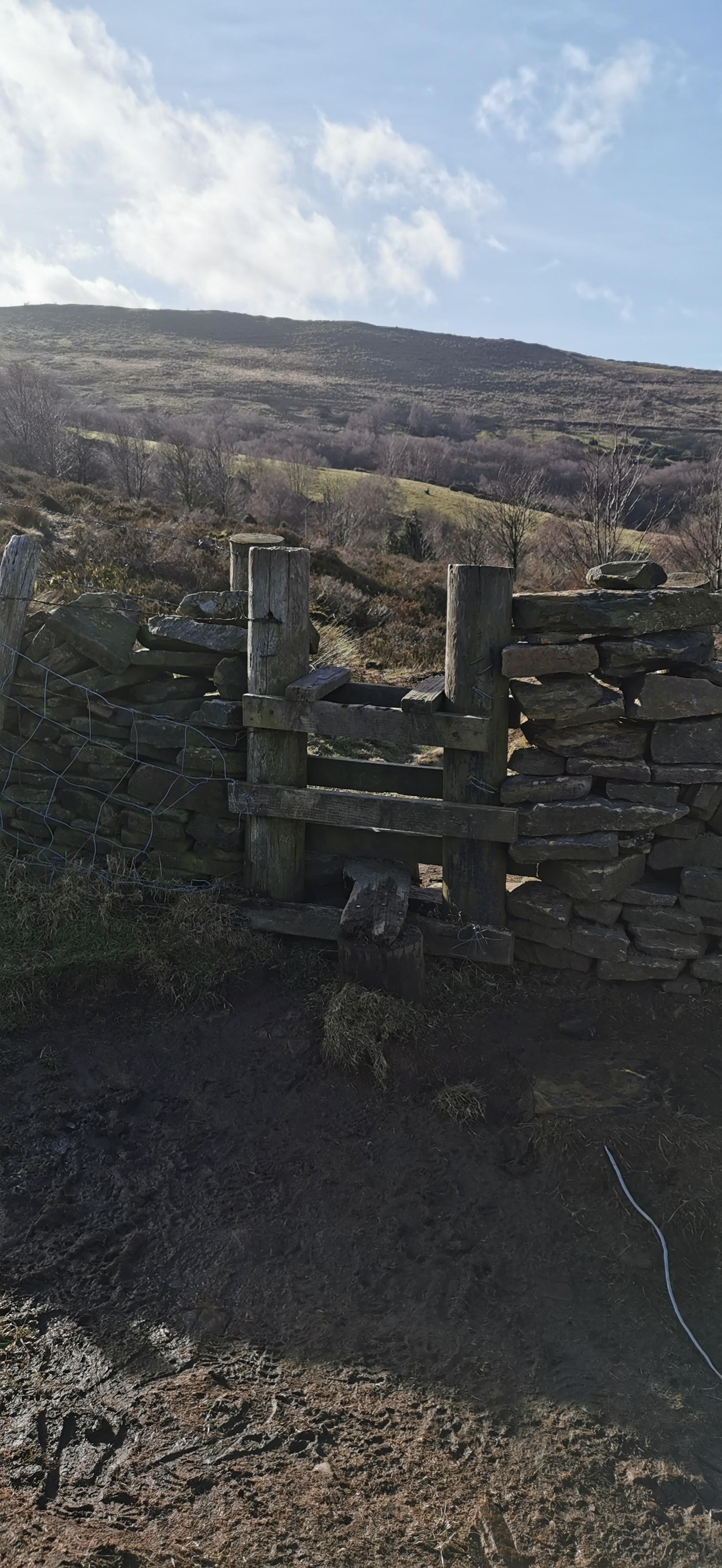
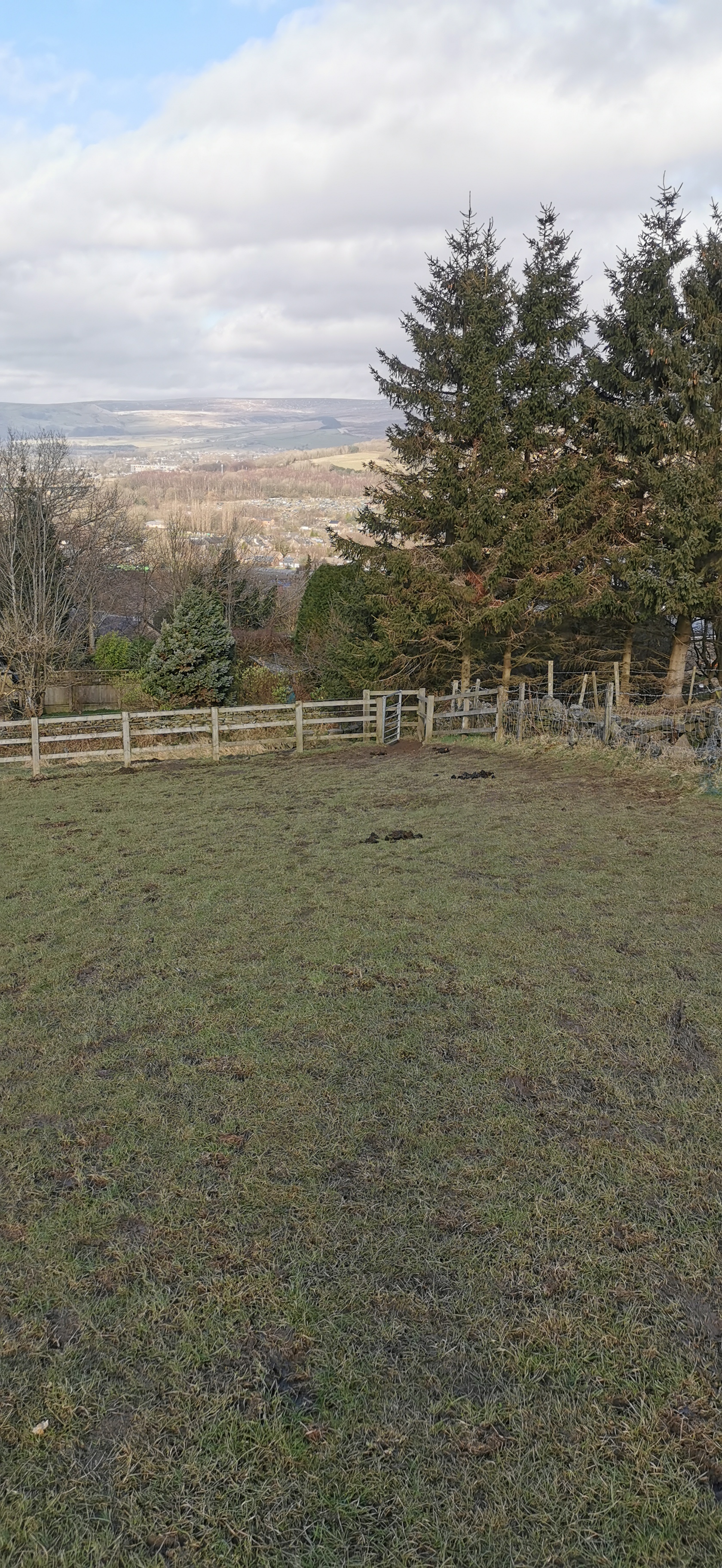
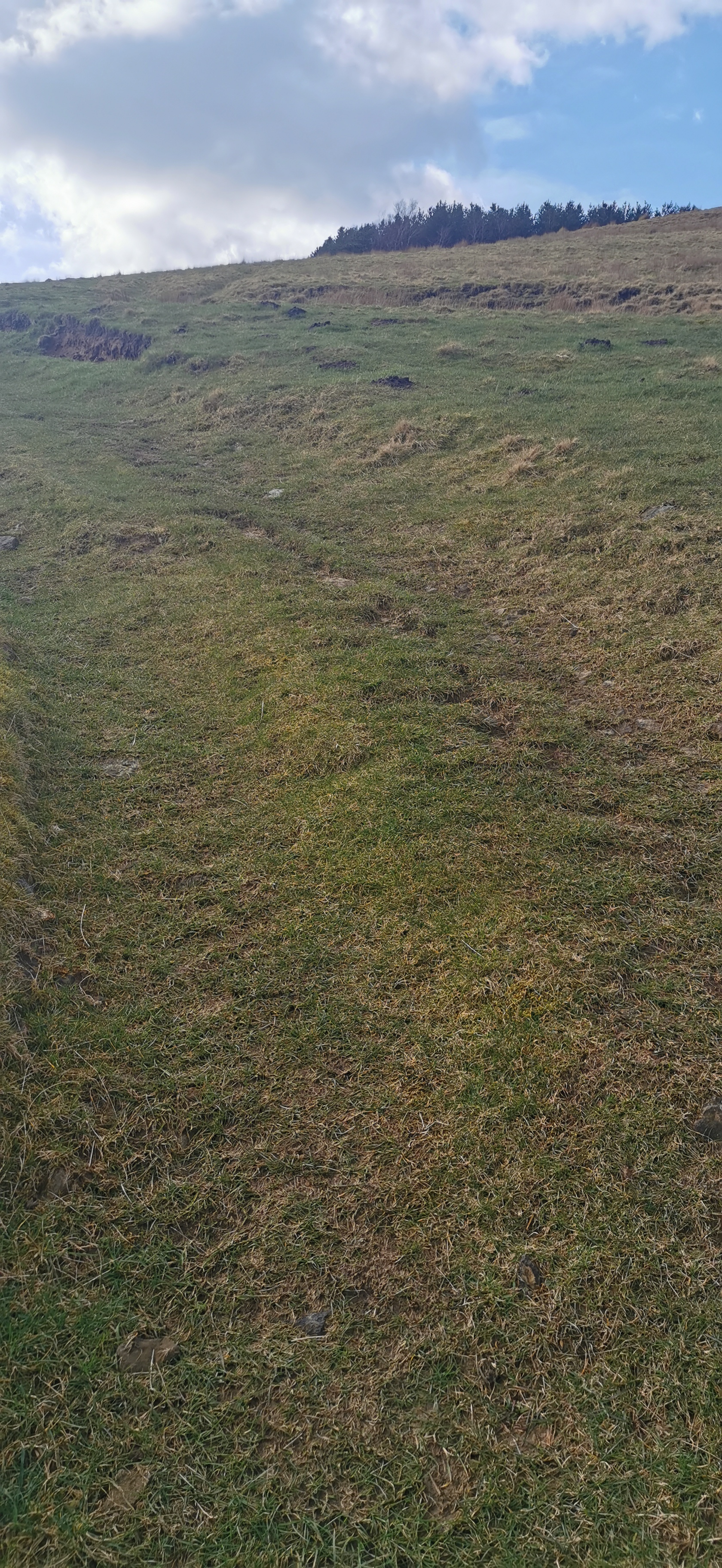
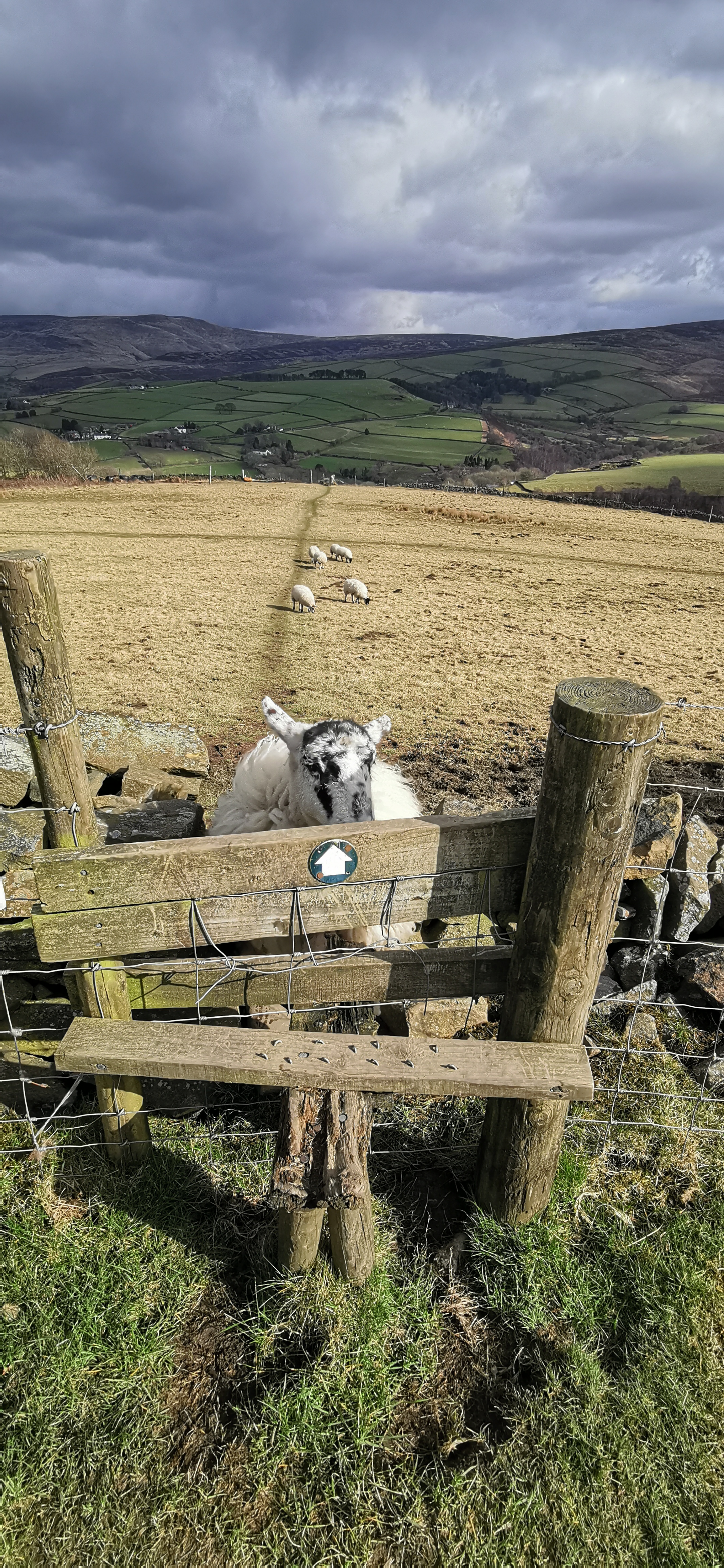
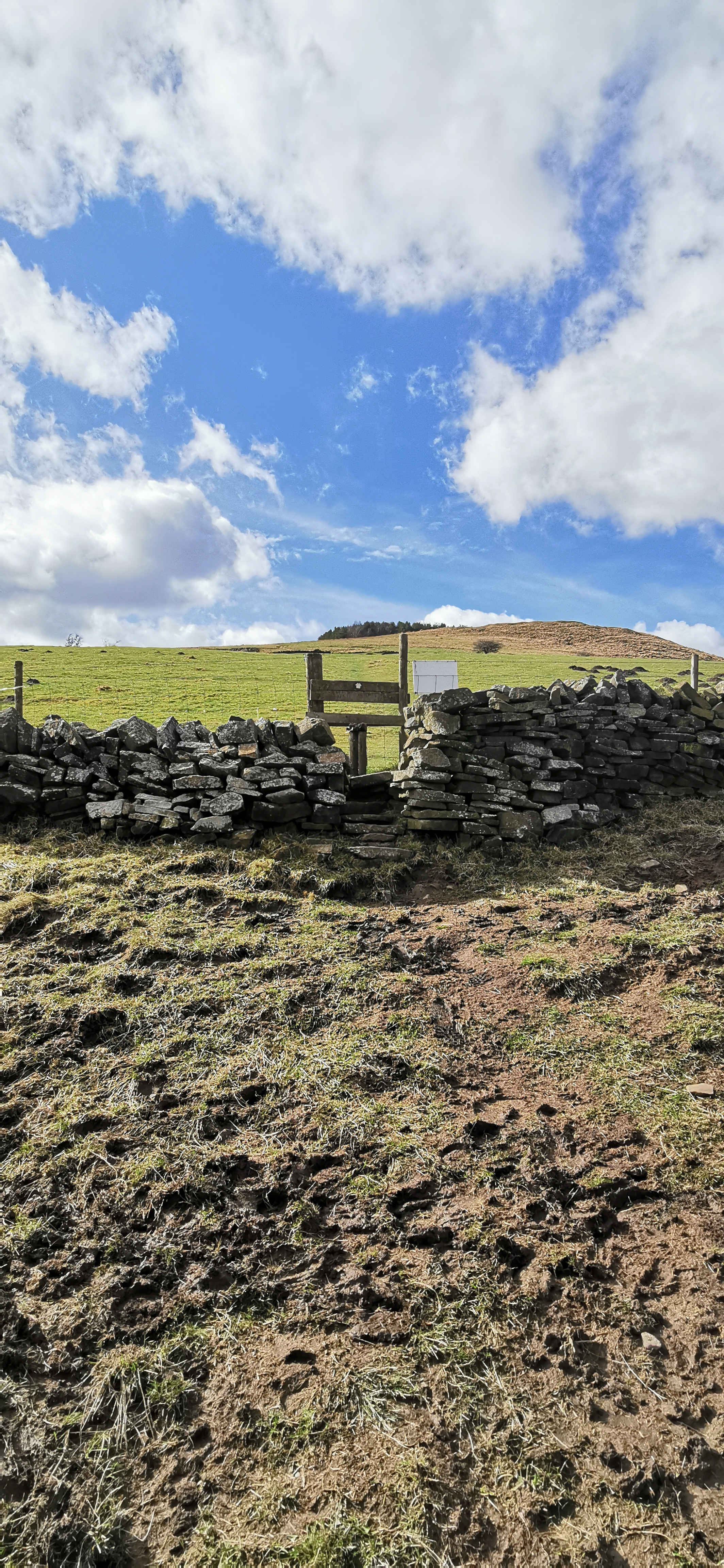
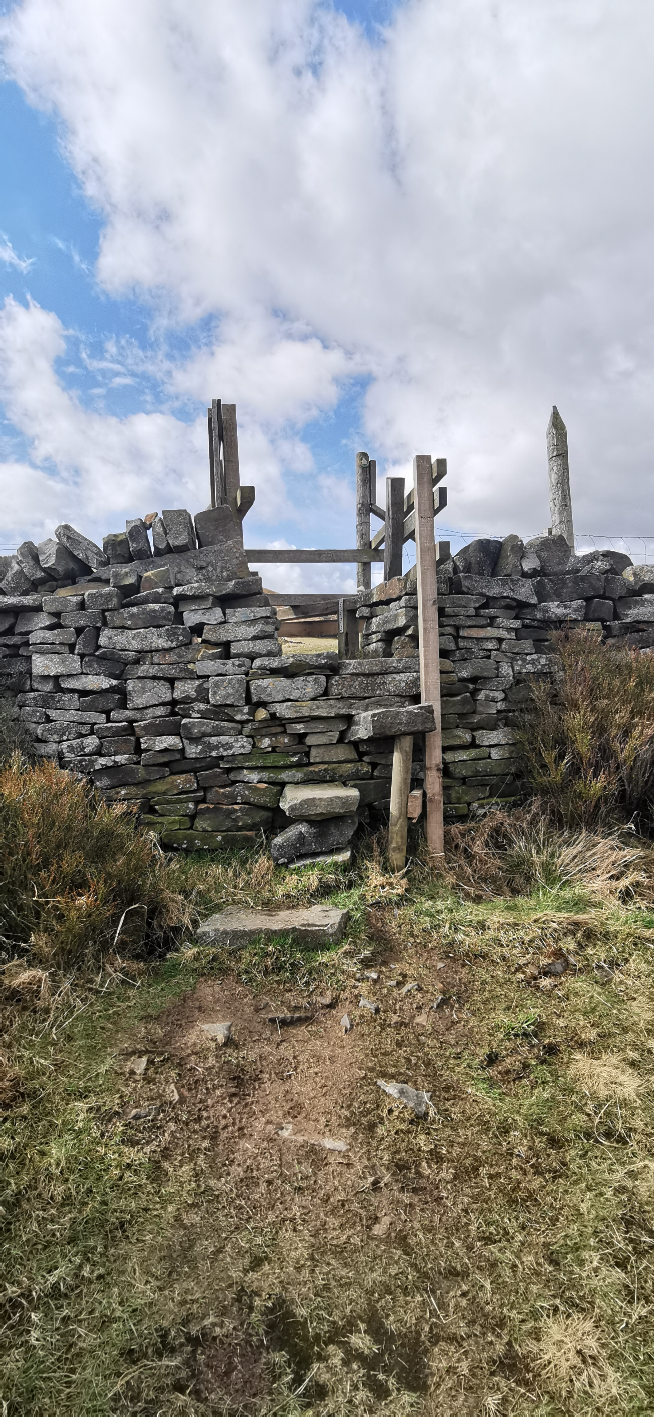
Continue on the track past with the plantation of fir trees on your right-hand side walking north west towards the gate, the track continues for 175m towards another gate. Don’t go through the gate but follow the path through the gorse and small trees until you reach a stile over a stone wall. Walk due north (you should be able to see the TV transmitter in the distance), down the hill diagonally across the field until you reach the kissing gate and the stile at the bottom. Cross over the stile onto Old Land and turn left. Walk east along Old Lane in Simmondley passing several Grade II listed houses. At the end of Old Lane is the Hare & Hounds Public House. If you’re not frequenting the pub, there is a shortcut down the steps onto High Lane.
The 4.5 acre pine tree plantation on Whitley Nab is 345m above sea level. The summit near Sitch Farm is about 380m. Kinder Scout is the highest point in the Peak District at 636m. According to OS Maps the gorse heathland is called Horse Clough.
Distance: 1,170m
Ascent: 0m
Descent: 160m
From Whitley Nab and the corner of the fir tree plantation head east crossing over two styles until you reach the track, turn left and follow the track to a footpath on your right over a wall and through the trees, down some steps until you reach Charlestown Road and turn right.
The 4.5 acre pine tree plantation on Whitley Nab is 345m above sea level. The summit near Sitch Farm is about 380m. Kinder Scout is the highest point in the Peak District at 636m. According to OS Maps the gorse heathland is called Horse Clough.

